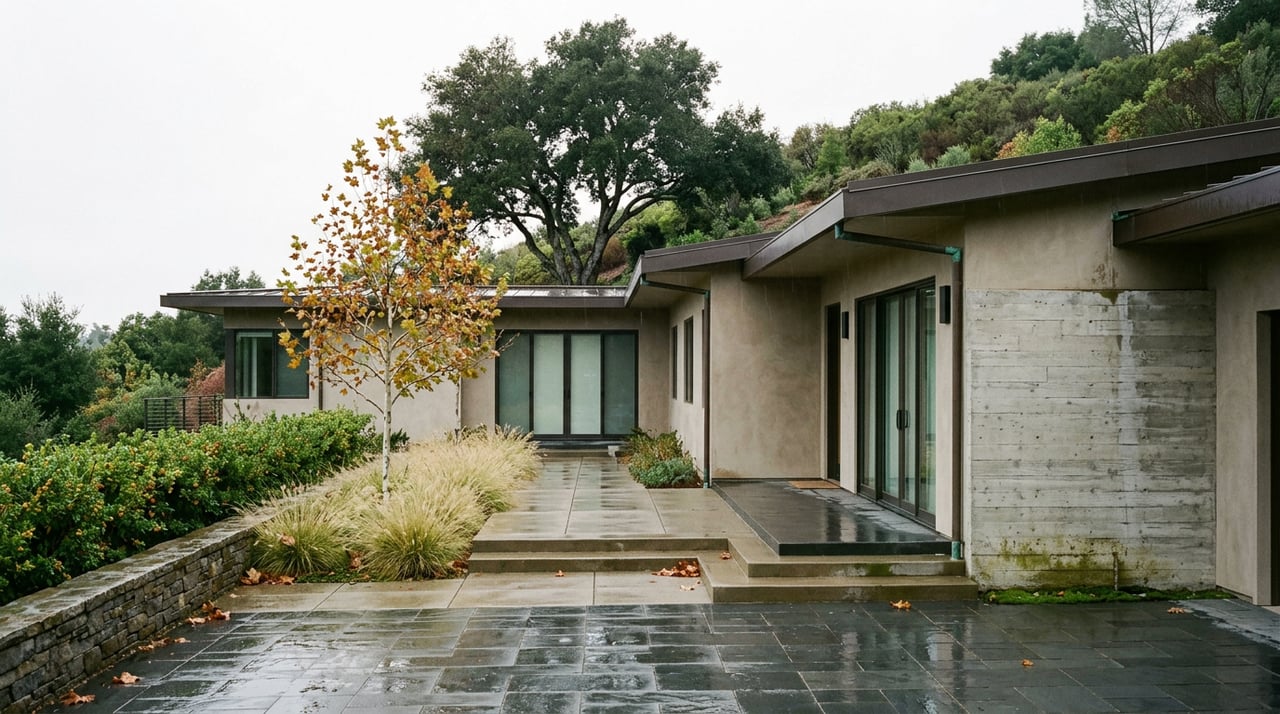
How much rain does it take to close a trail? If you hike in most of Southern California, the honest answer is usually a shrug. Puddle here, muddy patch there, you route around it and keep walking.
Chino Hills State Park does not work that way. The park closes after one quarter of an inch of rain. Not a storm. Not an inch. A quarter inch, the kind of rainfall that barely wets a sidewalk, triggers a closure that lasts a minimum of 48 hours across the entire park. If you have lived here through a few winters, you already know the drill. If you moved in recently or you have only hiked the hills during the dry months, the first time this happens in October or November is going to feel like an overreaction. It is not. It is soil chemistry, and understanding it changes how you plan a weekend on these trails for the next six months.
The Rule Has Nothing to Do With Storm Size
Most trail closures scale with the weather. A bigger storm means a longer closure. Chino Hills State Park's rule does not scale. Once the quarter-inch threshold is crossed, the park closes for at least 48 hours regardless of whether the storm dropped a quarter inch or two inches. A light overnight drizzle and a genuine atmospheric river trigger the same minimum closure window.
That flat threshold is the detail most people miss. It means the park can be closed after a storm so mild you barely noticed it, and it means you cannot judge whether the trails are open by how hard it rained. The only reliable way to know is to check before you drive out, which is a habit worth building now that the wet season is starting.
The Soil Is Doing This, Not the Rangers
The reason for the rule is the ground itself. Chino Hills sits on high clay content soil, and clay behaves differently than the sandier or rockier soils common elsewhere in the Inland Empire and Orange County foothills. When clay gets wet, it does not just get muddy. It gets slick in a way that makes hiking, biking, and horseback riding genuinely hazardous, and foot and hoof traffic on wet clay tears up the trail surface itself, causing rutting that then has to be repaired.
The park's own guidance is blunt about this: trails stay closed until the clay has had time to firm back up, and that drying time is not uniform across the park's 90-plus miles of trail. Some sections clear faster. Others, especially in shaded canyons or low-lying areas that hold moisture longer, take more than the standard 48 hours. This is why you sometimes see a "reopened" note online and still find one particular stretch of trail roped off. The park is not being inconsistent. Different parts of the same 14,000-acre property genuinely dry at different rates.
There is a second, separate closure trigger worth knowing about heading into fall: red flag warnings. When the National Weather Service issues one for extreme fire danger, the park closes regardless of soil conditions. Rain closes it for safety and trail preservation. Wind and heat close it for fire risk. Two different reasons, same result, and both are worth checking for before a hike this time of year.
Two Trails That Won't Reopen When the Rain Does
Here is the part that catches longtime hikers off guard. Not every closure at Chino Hills State Park is weather related, and assuming a trail will reopen once the rain rule lifts can lead you to a locked gate for a completely different reason.
The Hills For Everyone Trail is currently closed indefinitely due to erosion damage and fallen trees, unrelated to any recent storm. A section of North Ridge Trail is also closed, specifically the stretch between where it intersects Telegraph Canyon Trailhead and where it meets Gilman Trail. If your usual route to Gilman Peak runs through that segment, you will need to reroute through Gilman Trail, Sycamore Trail, or McDermont Trail off of Telegraph Canyon instead.
Both closures sit on top of the seasonal rain rule rather than being explained by it. That distinction matters for anyone mapping a route after a wet week. The 48 hours can pass, the clay can firm back up, and these two segments will still be off limits.
Where Dogs Actually Fit In
If you hike with a dog, the access rules here are narrower than most people expect. Dogs are not allowed on the backcountry dirt trails at all, full stop. They are permitted in exactly three places: Bane Canyon Road, the Rolling M Ranch day use area, and the day use areas around the Discovery Center. Everywhere else in the park's 14,000 acres, leashed or not, dogs are not permitted, and pets cannot be left unattended at any time.
The park is part of the Puente-Chino Hills wildlife corridor, a nearly 31-mile connected open space that supports movement for species that need larger, undisturbed territory. For dog owners, the practical takeaway is to check which areas permit dogs before setting out, rather than arriving at Sapphire Road expecting to walk a loop trail together.
The Clock Gets Shorter Right Now, Too
Fall brings one more change that stacks on top of everything above. The park runs on a seasonal schedule. From April through September, gates are open 8 a.m. to 7 p.m. Starting October 1, hours shift to 8 a.m. to 5 p.m. through the end of March.
That two-hour cut matters more than it sounds like on paper. Combine a shorter daylight window with a rain closure that can eat 48 hours or more of a weekend, and the margin for getting a hike in before dark on a fall Saturday gets noticeably tighter than it was in July. If you are used to starting a Chino Hills hike after work during the summer, that plan stops working the first week of October.
Checking Before You Drive Out
The park has four main access points, and knowing which one you are headed to helps when you call ahead:
- Sapphire Road in Chino Hills, the main park entrance, reached from SR-71 via Soquel Canyon Road and Elinvar Road
- Bane Canyon Road, also in Chino Hills, one of the few dog-friendly corridors in the park
- The Discovery Center on Carbon Canyon Road in Brea, which includes an accessible nature trail and interpretive exhibits
- Quarter Horse Drive in Yorba Linda, off Fairmont Boulevard, a common access point for the South Ridge Trail
For current conditions, the park's trail information line is 951-780-6222, and closure notices are also posted on trails, on the official Chino Hills State Park page, and on the park's social media. The nonprofit Hills For Everyone, which has long advocated for the park's protection, keeps its own visitor guide updated with the same rules and is a useful second check.
The Point
None of this makes Chino Hills State Park less worth hiking. It makes it a park that runs on a different clock than most Southern California trail systems, one set by clay soil and fire risk rather than storm totals, and one that gets less forgiving the moment October hours kick in. The residents who get the most out of these hills through the winter are the ones who call ahead, know which closures are seasonal and which are structural, and plan their weekend around a schedule the park sets rather than the one they are used to from summer.
That kind of local pattern recognition, knowing which rules are temporary and which ones tell you something permanent about a place, is the same instinct that matters when you are reading a neighborhood rather than a trail map. The Mowery Group has spent more than three decades paying attention to those patterns across Chino Hills and the rest of the Inland Empire. If a conversation about this neighborhood ever turns from trailheads to home values, we would be glad to schedule a free consultation and walk through it with you.